Who designed the New York City subway map?
Getting around New York is easier with the essential subway map. Discover the fascinating story behind this iconic design!
The History of the New York Subway Map
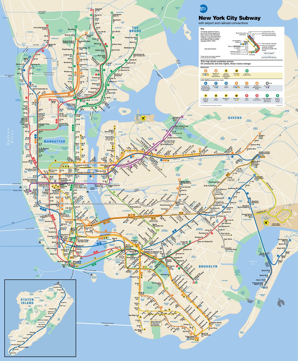
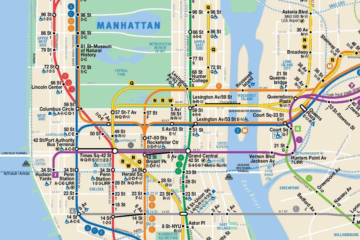
- The New York subway map is an essential tool for any visitor exploring the city. Did you know the map you use today was originally created in 1979? It was designed by New York-based designer Michael Hertz and his company, Michael Hertz Associates.
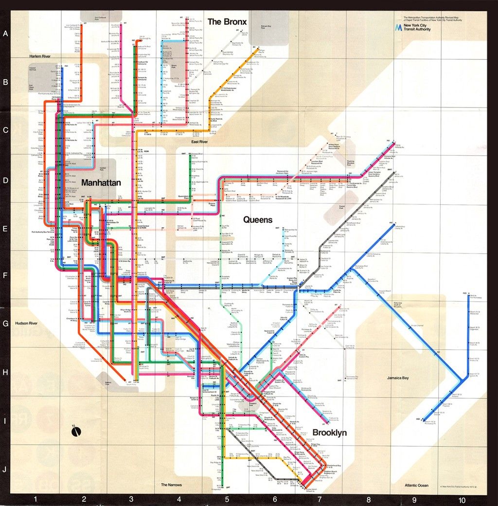
- Hertz’s map replaced an earlier version created in 1972 by Italian designer Massimo Vignelli. New Yorkers widely criticized that map for poor readability and distorted proportions of neighborhoods. See for yourself below:
A Map That Has Continued to Evolve
- Hertz’s design proved far more practical than its predecessor. New York neighborhoods are clearly stylized on a beige background, with water shown in blue and major parks in green. The subway lines stand out clearly, making the map easy to read at a glance.
- The map has been updated over the years to reflect changes in the city and its transit network, but the core design remains unchanged. Hertz’s firm also created transit maps for Washington and Houston, Texas.
- Michael Hertz died on February 18, 2020 in a New York hospital at age 87. His map will likely endure for many years to come.