New York City Subway
The New York City Subway is the most economical way to get around the city. Here's what you need to know about the New York network.
What You Need to Know About the New York Subway
- The New York subway was one of the world’s first underground rail systems. The first subway line opened in 1904.
- Today the network has 36 lines, 469 stations, and 1,355 km (842 mi) of track. The Metropolitan Transportation Authority (MTA) estimates that more than 4.5 million people use the network every day.
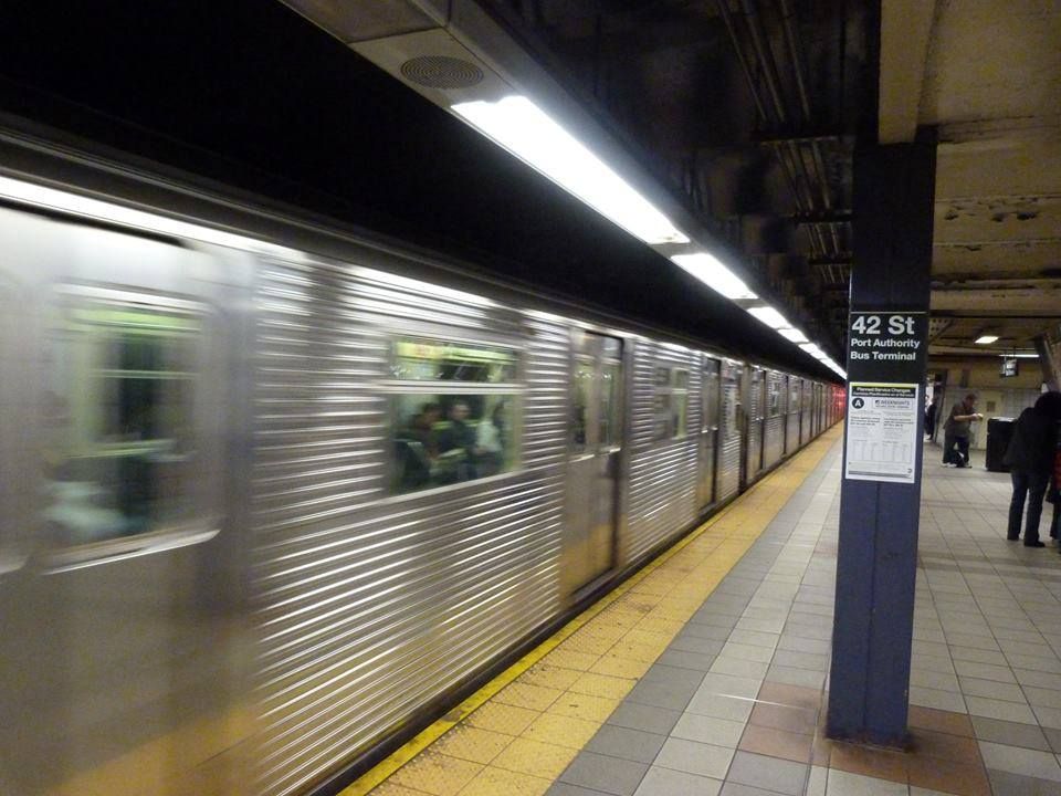
- One advantage of the New York subway: the lines aren’t buried very deep, so you avoid the long corridors and endless escalators you find in Paris or London. Usually, just two short flights of stairs get you to the platform.
- The New York subway runs 24 hours a day, every day. Service is less frequent in the middle of the night than during rush hours.

How to Take the Subway
- Once you have your ticket, head to the platform. When a train arrives, check the number on the first car and the doors. This tells you which line it is.
- Each line has its own number and color. For example, lines 1, 2, and 3 are red and serve the West Side of Manhattan, running under Broadway and 7th Avenue, while lines 4, 5, and 6 are green and serve the East Side under Lexington Avenue.
- Pay attention to the difference between “Local” and “Express” trains. Local trains stop at every station, while express trains skip several. On maps, express stops are marked with a white circle outlined in black.
- Tip: only three lines cross Manhattan from West to East. They run on 14th, 42nd, and 53rd Streets.
How Much Does It Cost?
- A single trip costs $3 as of January 1, 2026.
- The best way to ride the subway is with the new contactless OMNY system, which replaced the MetroCard on January 1, 2026.
- OMNY also works on buses, so you can switch between transit modes without any hassle.
New York Subway in Video

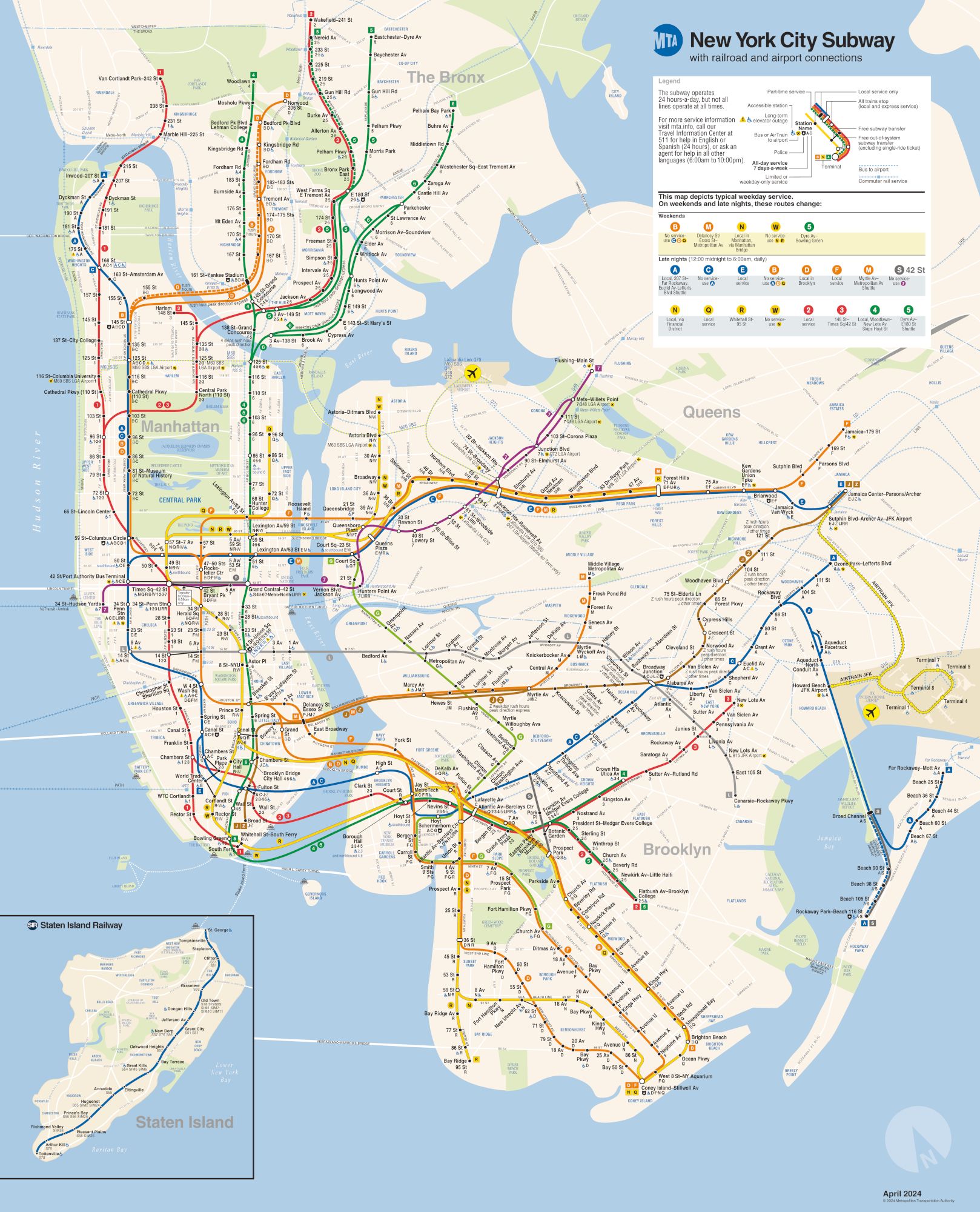
New York Subway Map
Click the image below to enlarge the map published by the Metropolitan Transportation Authority.
New York Subway in Photos